Breaking News

Popular News


Fast, Reliable, and Uncensored News Coverage

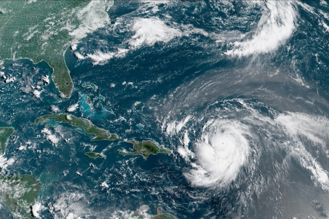
Dare County, North Carolina, declared a state of emergency Sunday as Hurricane Erin strengthened back to a Category 4 storm with winds of 140 mph.
The county issued mandatory evacuation orders for Hatteras Island, including the villages of Rodanthe, Waves, Salvo, Avon, Buxton, Frisco, and Hatteras.
Visitor evacuations began at 10:00 a.m. Monday. Resident evacuations start at 8:00 a.m. Tuesday.
Hyde County also declared an emergency and ordered evacuations for Ocracoke Island due to anticipated flooding impacts.
Hurricane Erin’s center was located 850 miles south-southeast of Cape Hatteras, moving west-northwest at 10 mph as of Monday afternoon.
The National Weather Service warned portions of Highway 12 on Hatteras Island will likely be impassable for several days. Coastal flooding and ocean overwash are expected Tuesday through Thursday.
Officials forecast waves of 20 feet or higher along the Outer Banks. Extensive beach erosion threatens beachfront properties.
The storm intensified from Category 1 to Category 5 in hours over the weekend before fluctuating between categories. It remains a large, dangerous major hurricane.
Life-threatening surf and rip currents are expected along the entire East Coast through the week. The storm’s center is forecast to stay at least 200 miles from the Outer Banks.
Puerto Rico experienced power outages affecting 100,000 people from Erin’s outer bands. Additional rainfall up to 6 inches is forecast for Turks and Caicos and eastern Bahamas.
Erin is the first hurricane of the 2025 Atlantic season and the fifth named storm. The National Hurricane Center predicted an above-normal hurricane season this year.